
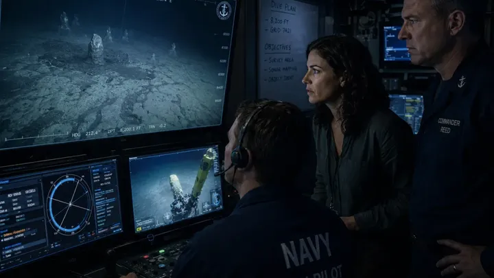
Dr. Elene Vassos, a renowned archaeologist, had spent most of the day watching an empty seabed drift across a monitor. The Navy survey ship was testing deep-water mapping systems in the eastern Mediterranean, and her archaeological role had so far been unproductive. At 8,200 feet, the remotely operated vehicle moved over gray sediment with nothing around it but darkness. Then the sonar operator leaned toward his screen. “I’ve got something off the survey line.” Elene stepped closer. Several returns sat ahead in an uneven row.
Mason, the remote operating vehicle pilot, turned toward them. The camera showed drifting silt and the edge of something rising from the bottom. Before Elene could make out its shape, it vanished behind a cloud of sediment. “Hold there,” she said. Mason stopped. Commander Reed looked over her shoulder. “Rock?” Elene narrowed her eyes. “Maybe.” She did not believe it.
Mason checked the sonar again. “There are more ahead.” Elene saw the returns continue into the darkness. Whatever they were, they did not seem random. Reed asked, “Worth leaving the survey line?” Elene kept watching the screen. “Yes.” She pointed forward. “Follow them…”