
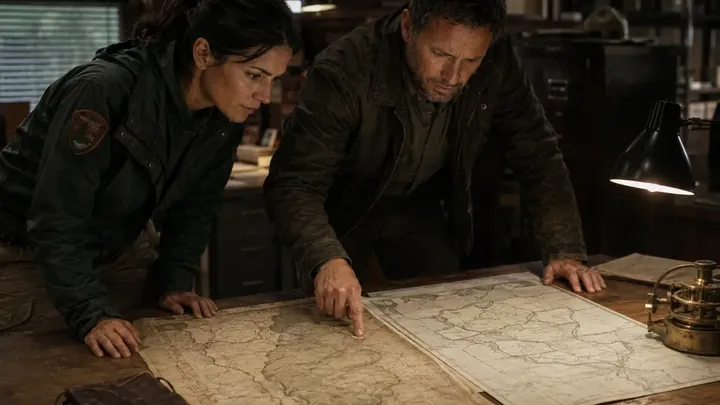
Jonah spent the afternoon searching historical records. Nathaniel Vale had been a government surveyor sent into the region in 1778 to establish official boundaries. His assignment should have been routine. Instead, his records suddenly stopped. “He disappeared on the road back to the capital,” Jonah told Vivian. “His horse was found. Vale wasn't.”
His unfinished work was later completed by another surveyor suggested by the Harwood Land Company. Vivian laid Vale's newly discovered map beside the official survey produced after his disappearance. At first, she saw only small changes. Then Jonah pointed toward the western valley. “Look at this line.”
On Vale's map, nearly eight thousand acres belonged to public territory. On the later map, the boundary shifted several miles, putting that same forest inside Harwood property. Vivian recognized the tract immediately. North Ridge Forestry owned it now. Jonah leaned back. “If Vale's survey is genuine, somebody changed the boundary after he vanished.” Vivian thought about the break-in. Then another thought struck her. “If someone knew what was hidden beneath that boulder before we opened it, this isn't just a 250-year-old mystery.” Someone right now was afraid of Vale's map.